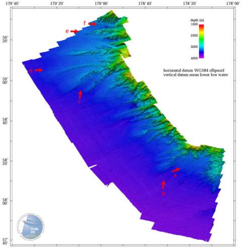
Beringian Sea Highlights
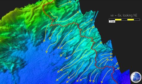
Eastern side of Beringian margin area, looking NE. Dashed line is erosional divide and solid lines with arrowheads are interpreted sediment pathways.
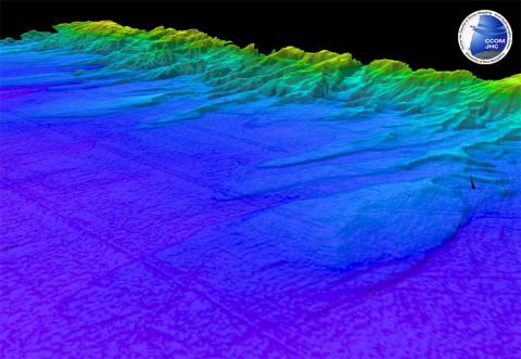
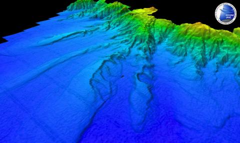
Perspective view along the Beringian margin showing large sediment tongues extending tens of kilometers to the SW from the margin front.
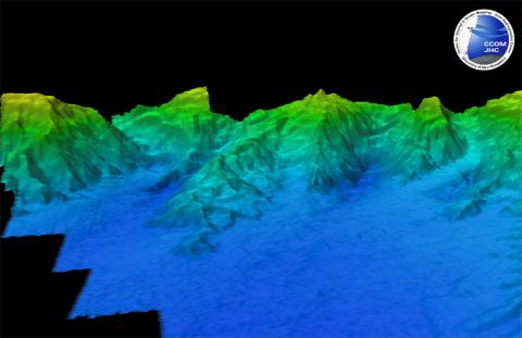
Pervasive erosion on east side of spurs that project southwest away from the margin.
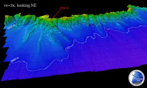
Perspective view along the Beringian margin showing broad sediment apron. 3400 and 3000 m isobaths in white, 2500 m isobath in red.
Sediment-clogged canyons trending south away from the margin.
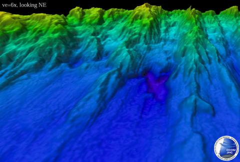
Example of plunge pool at base of canyons.