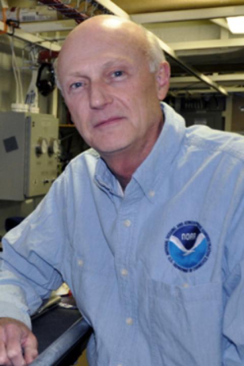
Andrew Armstrong
Andy Armstrong is the Co-Director of the JHC and a retired officer of NOAA, assigned to the Center as a civilian NOAA employee. Capt. Armstrong specialized in hydrographic surveying and served on several NOAA hydrographic ships, including the NOAA Ship Whiting where he was Commanding Officer and Chief Hydrographer. Before coming to the JHC, he was the Chief of NOAA’s Hydrographic Surveys Division, directing the agency's hydrographic survey activities. He has a B.S. in Geology from Tulane University and an M.S. in Technical Management from Johns Hopkins University. Capt. Armstrong oversees the hydrographic and ocean mapping education and training program at UNH and coordinates the Center’s cooperative research with NOAA.
Selected Publications
J. V. Gardner, Calder, B. R., and Armstrong, A. A., “Geomorphometric Descriptions of Archipelagic Aprons off the Southern Flanks of French Frigate Shoals and Necker Island Edifices, Northwest Hawaiian Ridge”, Geological Society of America Bulletin (GSAB), vol. 133(9/10). Geological Society of America, pp. 2189-2209, 2021.
C. Bongiovanni, Lippmann, T. C., Calder, B. R., and Armstrong, A. A., “Identifying Future Hydrographic Survey Priorities: a Quantitative Uncertainty-based Approach”, International Hydrographic Review, vol. 2021. International Hydrographic Organisation, Monaco, 2021.
S. B. Mukasa, Andronikov, A., Brumley, K., Mayer, L. A., and Armstrong, A. A., “Basalts from the Chukchi Borderland: 40Ar/39Ar Ages and Geochemistry of Submarine Intraplate Lavas Dredged from the Western Arctic Ocean”, Journal of Geophysical Research: Solid Earth, vol. 125. American Geophysical Union, 2020.
G. Masetti, Dijkstra, S. J., Wigley, R., Greenaway, S. F., Manda, D., Armstrong, A. A., and Mayer, L. A., “The e-Learning Python for Ocean Mapping project - Empowering the Next Generation of Ocean Mappers with Effective Programming Skills”, 2020 Canadian Hydrographic Conference. Quebec City, Quebec, Canada, 2020.
J. V. Gardner, Peakall, J., Armstrong, A. A., and Calder, B. R., “The Geomorphology of Submarine Channel Systems of the Northern Line Islands Ridge, Central Equatorial Pacific Ocean”, Frontiers in Earth Science. p. 24, 2020.
A. A. Armstrong, Hillstrom, C. D. R. Briana, Schmidt, V., Wisotzkey, L. C. D. R. Charles, DeCastro, L. T. Calandria, Hitshew, J., Eudeline, G., and Grall, S., “Operational Survey Trials of the DriX Autonomous Surface Vessel on NOAA Ship Thomas Jefferson”, Canadian Hydrographic Conference. p. Quebec City, Quebec, Canada, 2020.
D. Sowers, Masetti, G., Mayer, L. A., Johnson, P., Gardner, J. V., and Armstrong, A. A., “Standardized Geomorphic Classification of Seafloor Within the United States Atlantic Canyons and Continental Margin”, Frontiers in Marine Science, vol. 7(9). pp. 1-9, 2020.
D. Sowers, Masetti, G., Mayer, L. A., Johnson, P., Gardner, J. V., and Armstrong, A. A., “Adding Value to Broad-Scale Ocean Exploration Mapping Data Through Standardized Geomorphic Classification and Backscatter Data Analysis”, 2019 Fall Meeting, American Geophysical Union (AGU). p. San Francisco, CA, 2019.
C. Bongiovanni, “Estimating Sedimentation Rates Near Chesapeake Bay and Delmarva Peninsula and the Associated Implications for Survey Priorities”, 2018 Fall Meeting, American Geophysical Union (AGU). p. Washington, DC, 2018.
J. E. Miller, Munene, T., Gardner, J. V., and Armstrong, A. A., “R/V Kilo Moana KM1811 U.S. Extended Continental Shelf Cruise to Map Gulf of Alaska, Eastern Pacific, July 1–August 3, 2018”, 2018.
