Juliet Kinney, Ph.D.
Multibeam Mapping and Data Research Analyst
UNH Center for Coastal & Ocean Mapping
Friday, November 14, 2025, 3:10pm
Chase 105
Abstract
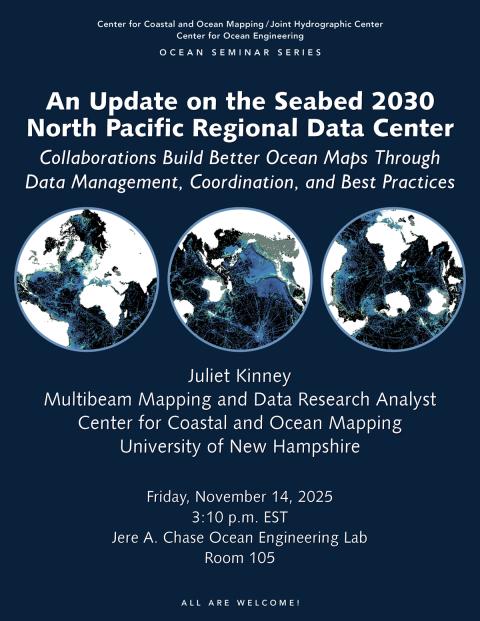
Seabed 2030 challenges the global community to map the world’s ocean seafloor by 2030 with modern standards of resolution. As part of Seabed 2030 data is being assimilated into new releases of the GEBCO (General bathymetric grid of the ocean) grid. UNH’s Center for Coastal and Ocean Mapping hosts the Seabed 2030 North Pacific Regional Data Center. This massive effort of mapping the world’s oceans and turning that into a shared product relies upon Collaborations. Central to these efforts are data management and sharing best practices with others. It takes a huge network of data sharing, which requires a lot of coordination. Multiple partners of CCOM, as well as supporters of the goal to map the oceans, have been contributing to the effort. Updates include recent projects and collaborations at the North Pacific Data Center. The overview will give the audience an idea of the effort involved in generating a global bathymetry compilation, and why standards are very helpful to make efforts more efficient.
Bio
Dr. Juliet Kinney is a Multibeam Mapping and Data Research Analyst at the Center, and is a Data Manager for the Seabed 2030 North Pacific Regional Data Center. She is interested in paleoclimate/paleoceanography and ocean atmospheric spatiotemporal pattens, and high resolution sea floor mapping.
Juliet was a Hydrographic Analyst with ERT, and NOAA's Office of Coast Survey at JHC/CCOM—first as Team Lead with NOAA’s Sandy IOCM (Integrated Ocean and Coastal Mapping) Center focusing on research to operations and how to re-use data collected for other purposes and bring data collection and management best practices into action in different groups, then for two years with the National Bathymetric Source Project.
She received her Ph.D. in Marine & Atmospheric Sciences from Stony Brook University, where she worked with Prof. Roger D. Flood. Her dissertation, “The Evolution of the Peconic Estuary 'Oyster Terrain’ Long Island, NY,” focused on 3D high resolution morphology data and geochemical analyses of stable and radiogenic isotopes to guide the interpretation of sediment samples from the paleoenvironment. She was a faculty member in the Department of Geological Sciences at Bridgewater State University, an USGS intern in physical oceanographic and sediment transport, and graduated with a B.S. in Earth Systems Science from UMass-Amherst.

